Video: The Historical Maps Collection of the Suriyakantha Center
2023 July 06
For the child, enamored of maps and prints,
The universe is equal to their vast appetite.
Ah! How grand the world appears in the lamplight!
To the eyes of memory, how small the world seems!
Charles Baudelaire
Cartography, the art of making maps, is an integral part of human history. From cave paintings to ancient maps of Babylon, Greece, and Asia, through the Age of Discovery and into the 21st century, people have created and used maps as essential tools in navigating the world.
Modern cartography of India and Sri Lanka by Europeans began five centuries ago out of the need to ensure the safety of sailors trading along the Indian coasts. This trade, along with war, became the driving force behind map-making in the 18th and 19th centuries.
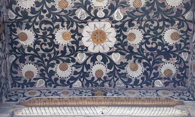
The cartography of Sri Lanka found itself in a more favorable position than that of Africa. Due to its geographical location on ancient maritime routes of the East and its reputation for elephants, spices, and precious stones, Sri Lanka has enjoyed extensive documentation in the ancient histories of Romans, Greeks, Persians, and Arabs. The history of ancient maps of Sri Lanka is dominated by maps created by Europeans with the intention of understanding, exploring, and dominating this small island kingdom.
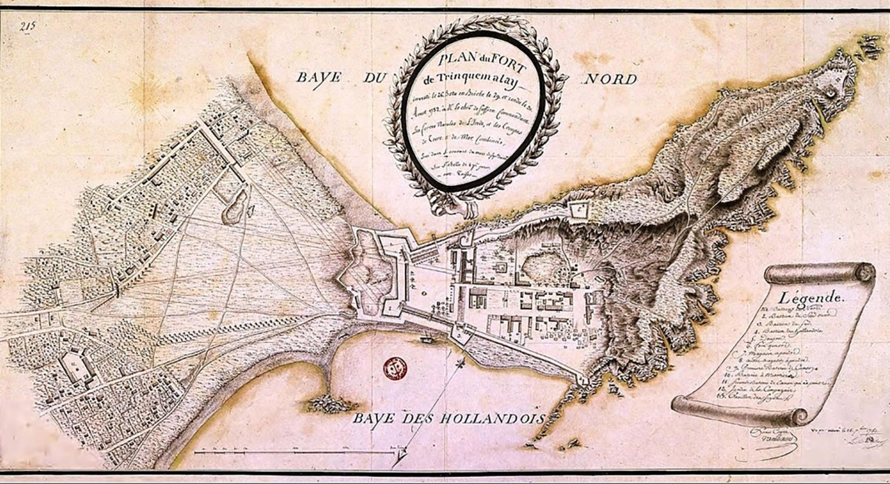
Here is a report highlighting the historical maps collection of the Suriyakantha Center.